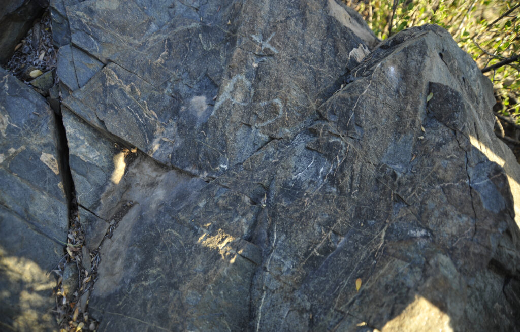
Below is photograph of a fictitious corner of a theoretical mining claim, that is way outside of it’s ‘record‘ position, per the official field notes of survey and corresponding official PLAT. The overall result, if held as valid, is akin to trying to place a square peg in a round hole…it doesn’t work. Plunders upon blunders.


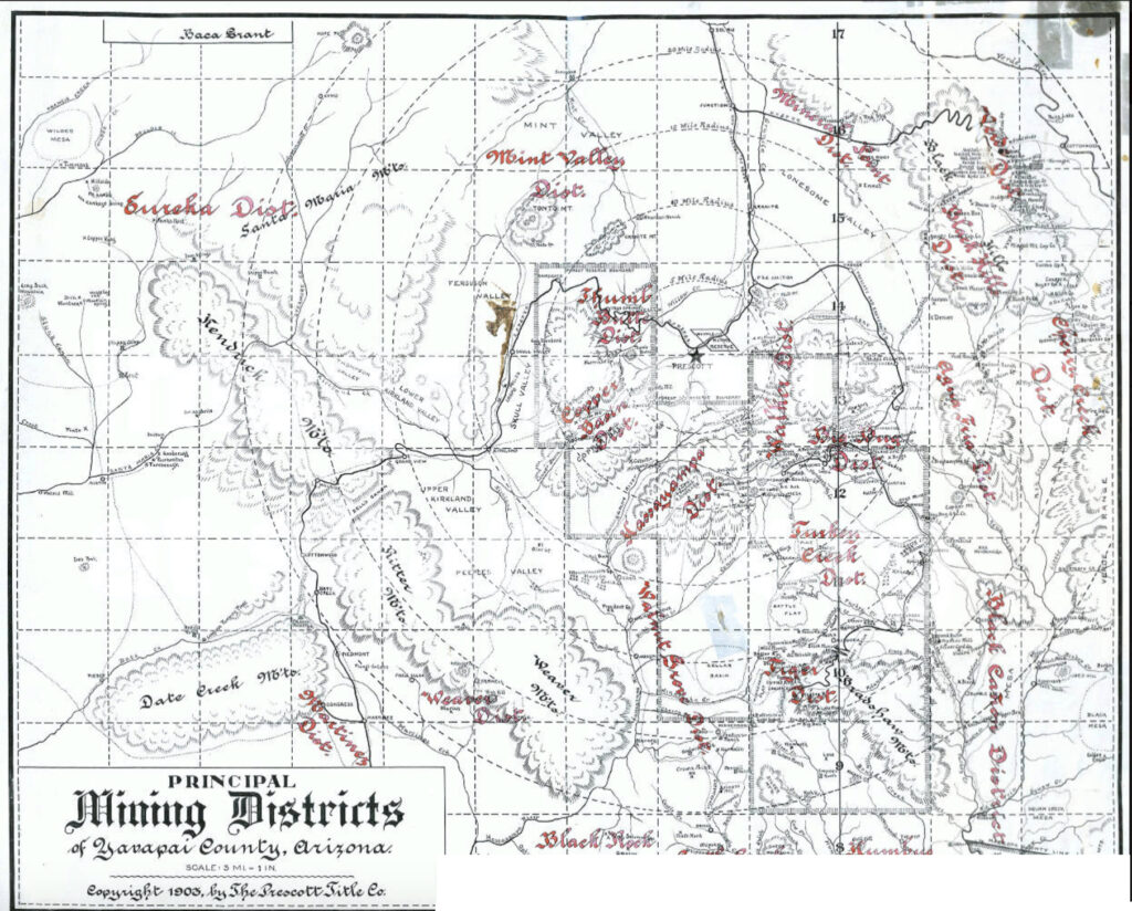
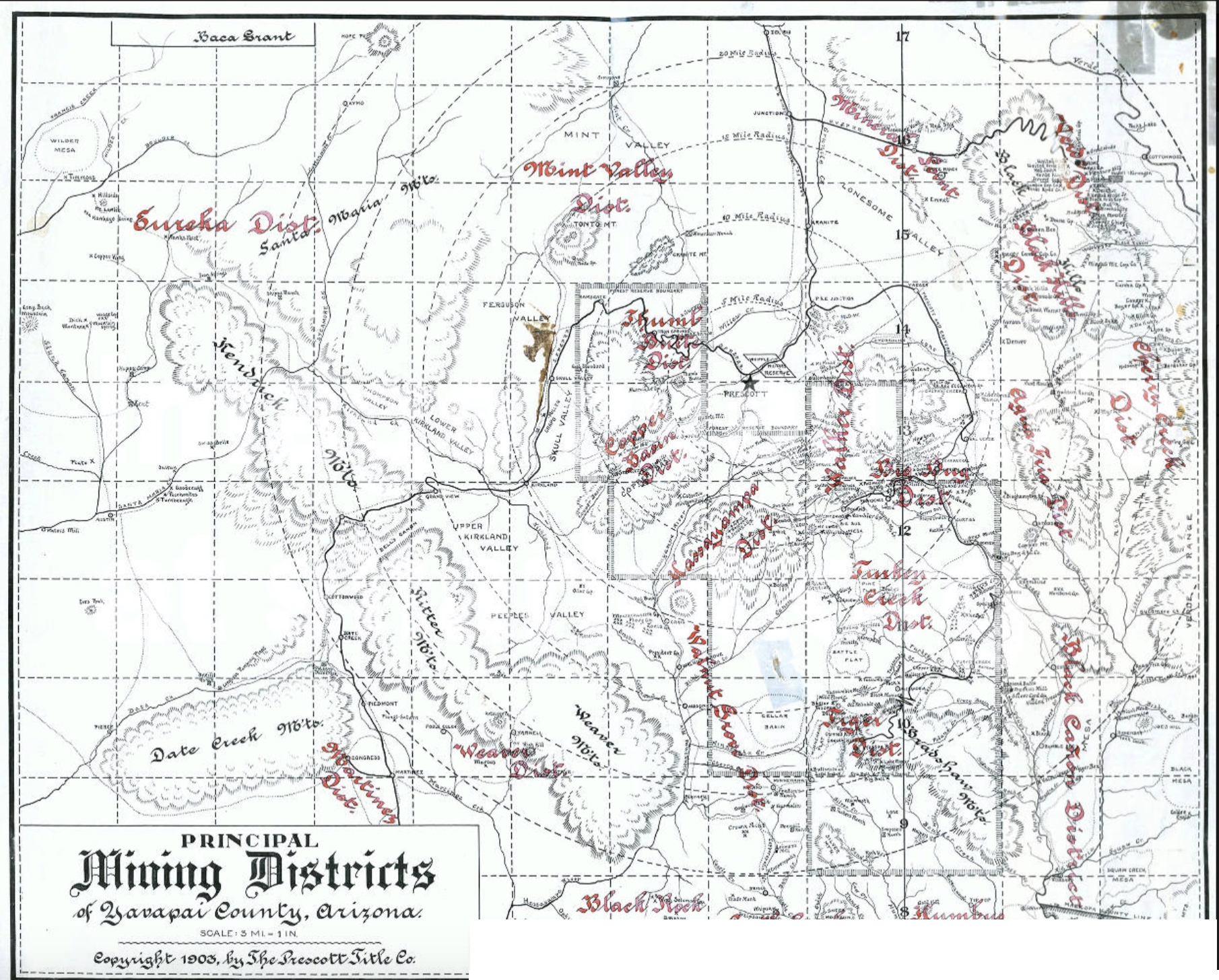
Above: Principal Mining Districts of Yavapai County, Arizona. Courtesy of The Prescott Title Company, 1903.


