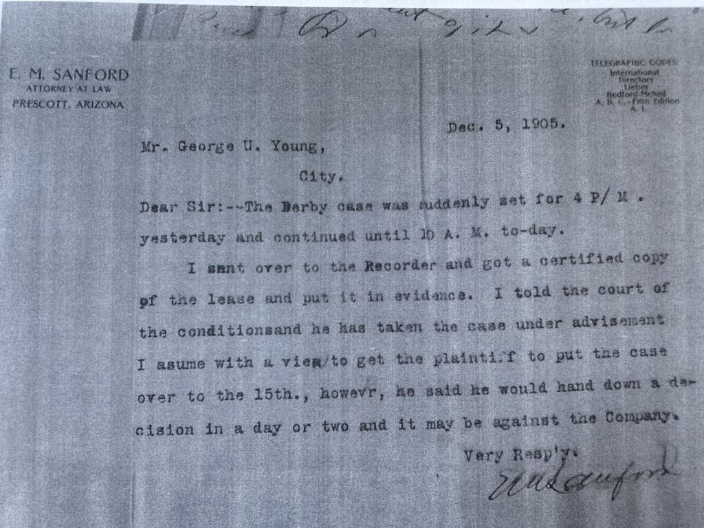
Put into ‘Evidence’
What lease is being referred to here in this letter from E.M. Sanford to George U. Young? Sanford was vice president of the Derby Mining Company, at least he was initially in 1902 when the Prospectus came out. Various suits in Prescott Yavapai County began around 1905 against The Derby Mining Company of Young and Sanford. The suits were mainly for unpaid monies purportedly owed to workers of some ground effect somewhere in the Thumb Butte District. The real operation to obtain the land was forming around these alleged affairs on the ground, of the alleged company/ies.
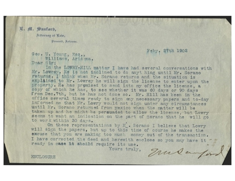
It’s not the lease as in the 1902 ‘license to enter the property‘ from sheriff Lowry as discussed in the letter below from E.M. Sanford, but something else perhaps….
Sanford, Lowry, Young, Sarano and Mr. Hill knew exactly what they were doing. Oddly enough, Sanford appears to have furthered his ‘fixing of the papers’ that began in 1902, in George U. Young’s defense of court actions of the Derby Mining Company in 1905. What isn’t clear is where the ‘property’ is supposedly positioned on the ground, of those 1905 court actions.
An Epic Sublease
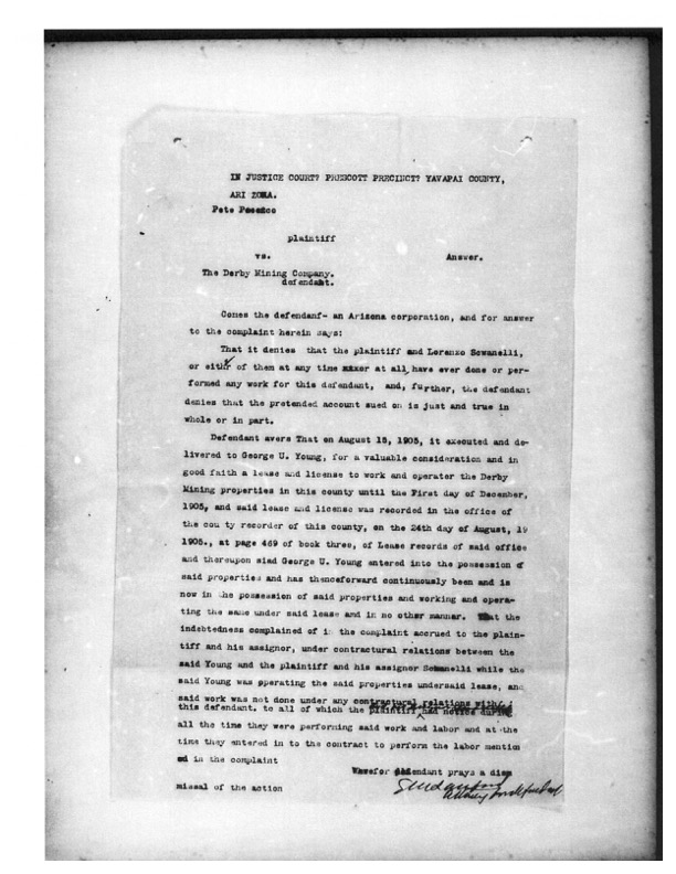
The lease agreement in the above court action, brought over from the Recorder’s office in Yavapai in 1905, is some special level of enchantment. This is a document purporting to be a “lease” that converts more nothing from less nothing, conveniently distracting from the maybe something else that in the end is actually just nothing at all. But in actuality due to the nature of the ground, it could at best only be a sublease, and a likely illegal one at that.
A lease between the Derby Mining Company (George U. Young as President) for the Derby Mining Company and to, well, Mr. George U. Young himself. This document was likely created to absolve from liability of debt(s) owed in the matter of Fred Blume (and others as shown above), or at least have that appearance. The answer to the Why is the answer to the What. The takeaway is that nothing is being leased here, and there are no actual parties, or likely even a genuine suit, or a claim, as the ‘group of mines‘ or the mining ‘property’ being referenced is purely theoretical.
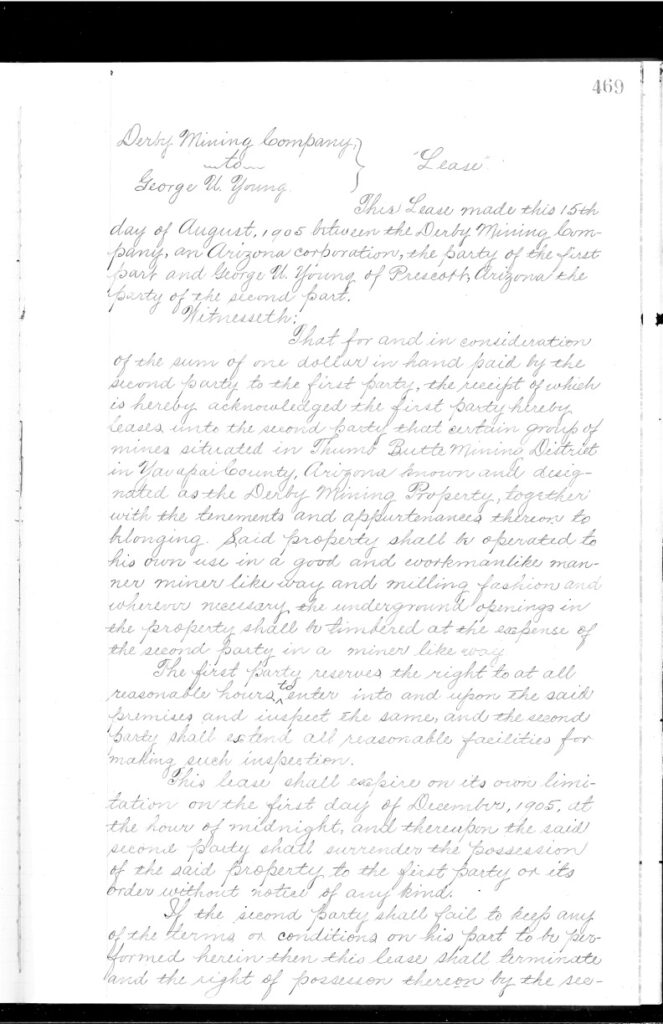
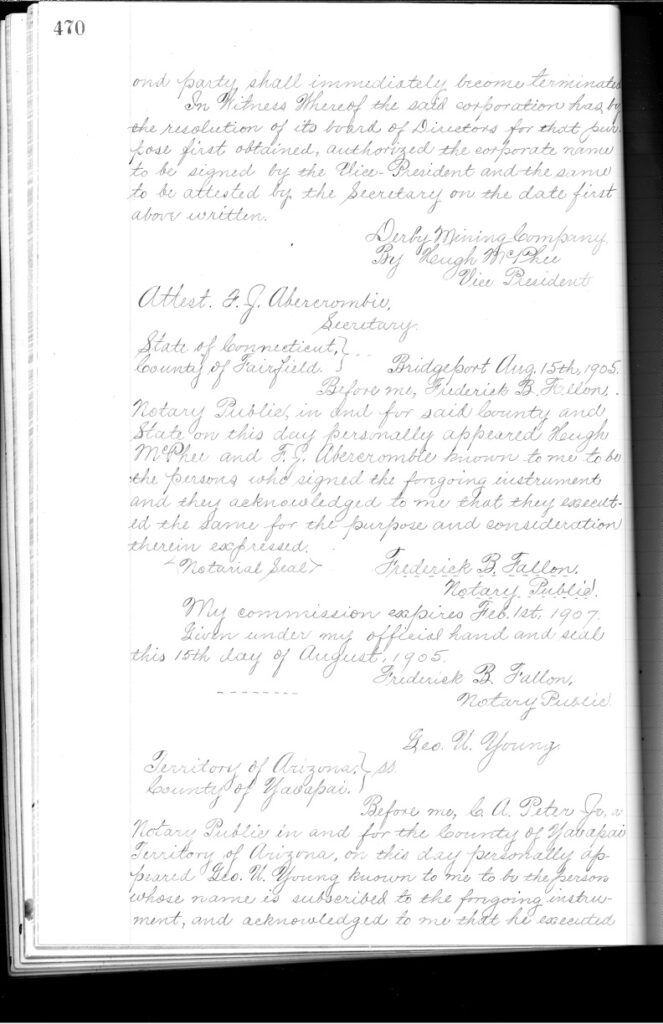
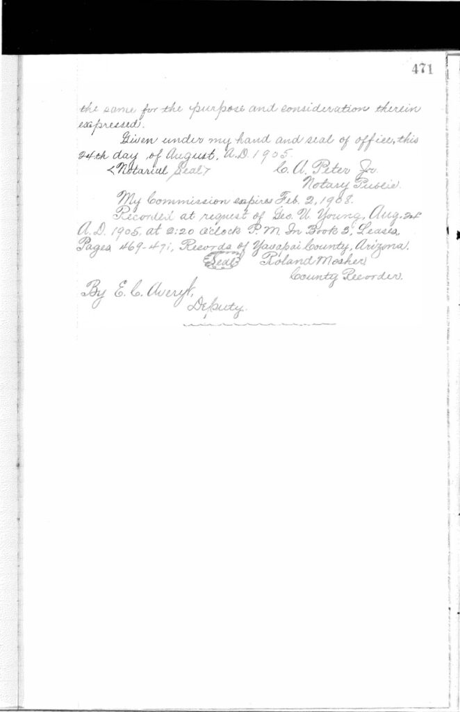
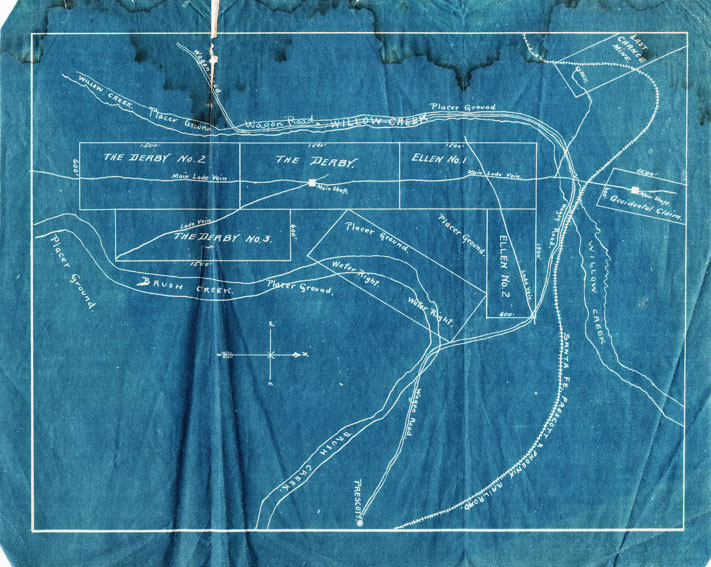
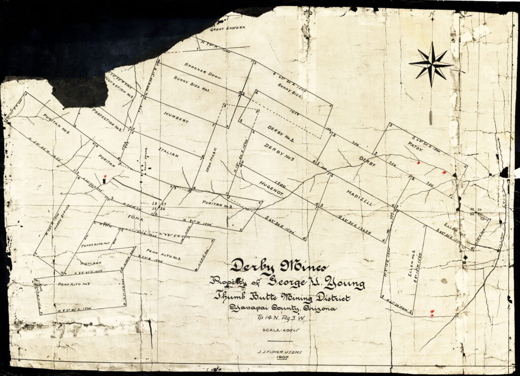
It is highly likely the ‘property’ that is being projected about in the above court cases of 1905-1906 is none other than what we are looking at below in the map of Derby Mines-Property of George U. Young 1907, J.J Fisher United States Deputy Mineral Surveyor. Which is nothing like a survey or even a valid plat, but simply an ideal projection.
The same conceptual platting of the theoretical mine and fictitious mining operation that became Mineral Survey 2424, under land patent to the Madizelle Mining Company, under U.S. serial patent 818945. Today we call this unique place of the world Highland Pines. Or is it the latter made up on a map ‘Highland Park’? What you see below was never there. Or there, Or there…
Before the papers were ‘fixed up’ George W. Sarano Made his map of local mining operations west of Prescott, as shown below.
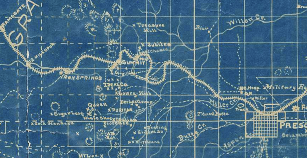
Before Sarano made his map shown above, George U. Young and E.M. Sanford made their Derby Mining Company ‘Prospectus map’, as shown below (positioned sideways).
