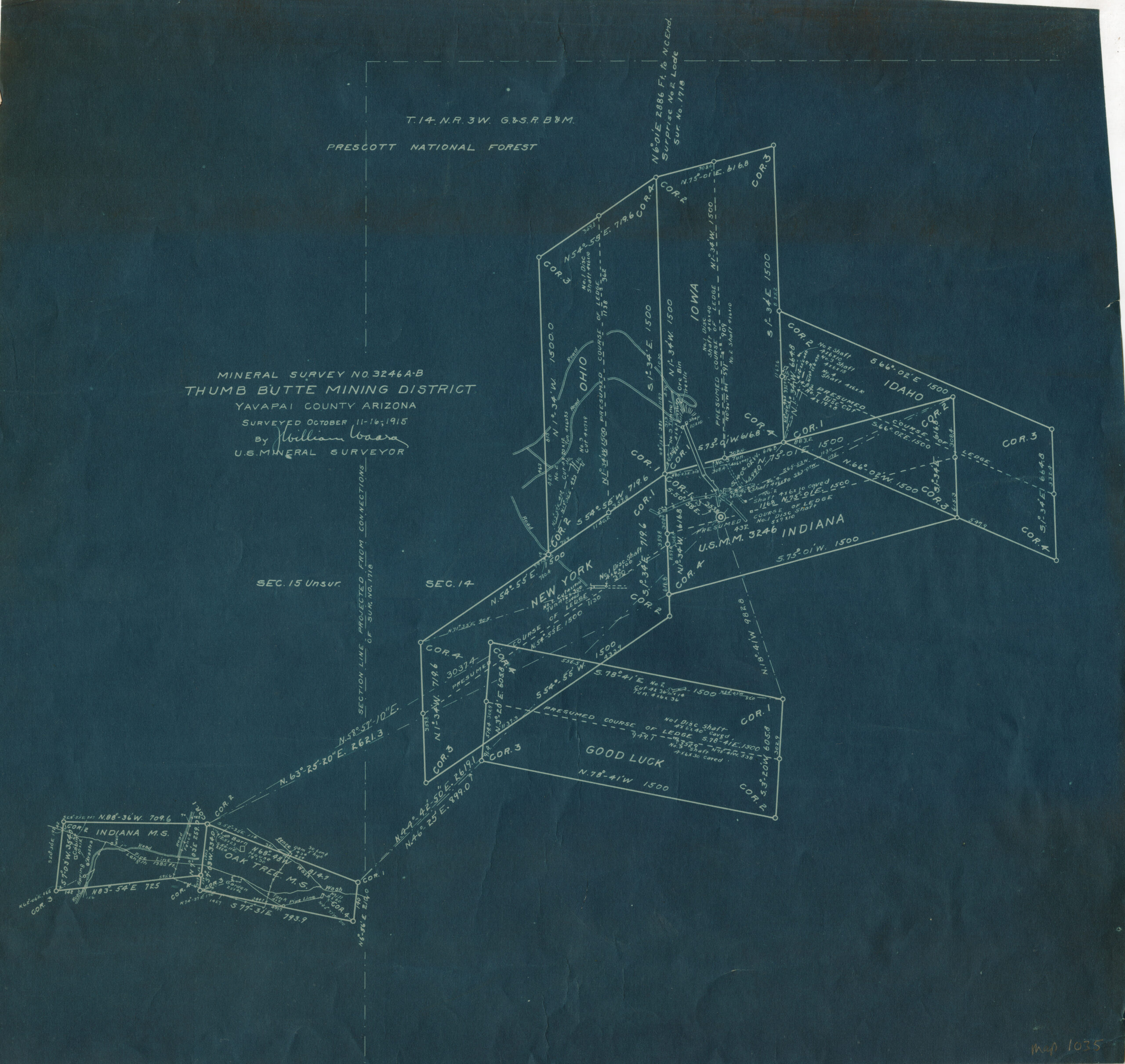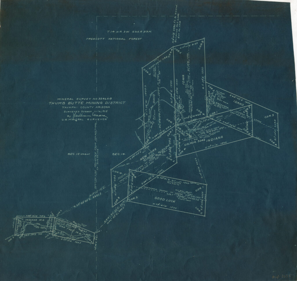
Mineral Survey 3246 A-B & Associated Millsites
Present day Yavapai County Arizona GSRB&M Township 14 North, Range 3 West, Sections 14 & 15 show private property as patented by reference to MS3246 purportedly being consistent with the above depiction, as it was to be in 1915, prior to a mineral patent deed in which the above ‘survey’ was incorporated into by direct reference.
The notices of lode claims, the original lode claim recordations, as they should be valid and consistence with the mining law(s) of the U.S. and the Arizona (territory), indicate an entirely different location and configuration of the above lode claims referenced in the above drawing. The above is a theoretical plat for the names of lode mining claims that were originally filed by other persons, years prior to 1915….Additionally, if that was not bad enough, the present day ground location of even the above theoretical MS3246 layout (private property), is inconsistent with it’s own record in relation to current occupancy.
