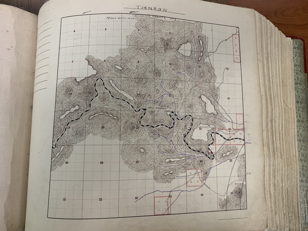
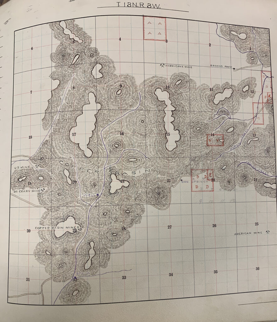
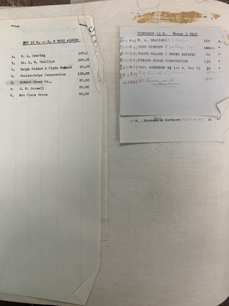
Pre-Mineral Survey 2424
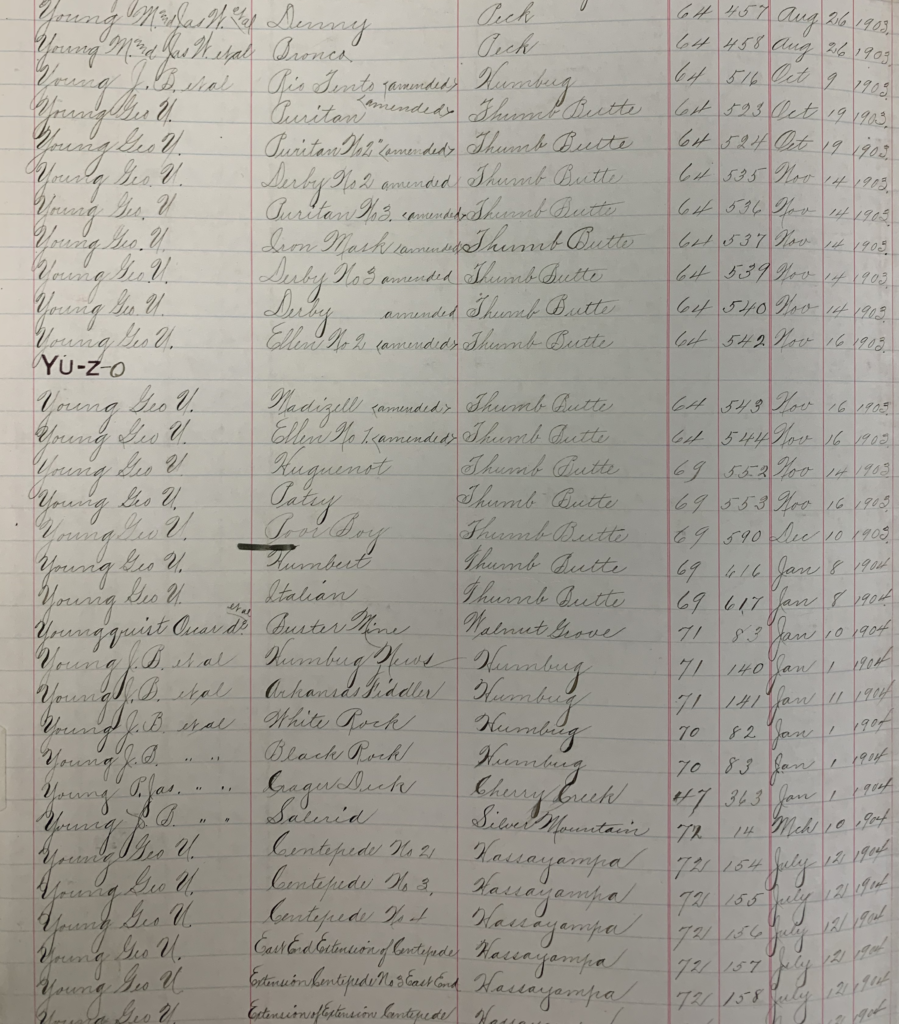
Final entries that would one day become the foundation for J.J. Fisher and Frank S. Ingalls U.S. patent mineral survey, MS 2424, which was used as the basis for the eventual land patent application by the Madizelle Mining Company, and modern day Highland Pines, as shown in the official records of Yavapai County Arizona for ‘claimant‘ George U. Young from October 19th, 1903 to January 8th, 1904: Puritan amended, Puritan No2 amended, Derby No2 amended, Puritan No3 amended, Iron Mask amended, Derby No3 amended, Ellen No2 amended, Madizelle amended, Ellen No1 amended, Huguenot, Patsy, Poor Boy, Humbert, and Italian lode mining claims in the Thumb Butte District.
Additional entries followed from George U. Young for the Centipede 1, 2 & 3 and Centipede ‘extension’ lode mining claims in the Hassayampa Mining District, all dated July 12th, 1904. This GUY was really lucky.
“An amended location notice relates back to the original location notice date. No amendment is possible if the original location is void. An amendment to a notice or certificate of location shall not be used to effect a transfer of ownership of interest or to add owners. Such transfers or additions shall only be filed with the proper State Office of the BLM pursuant to §3833.3.”
“Relocation means the establishment of a new mining claim, mill site, or tunnel site. A relocation may not be established by the use of an amended location notice, but requires a new original location notice or certificate as prescribed by law.”