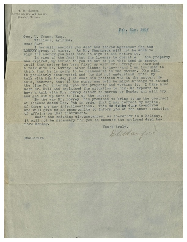
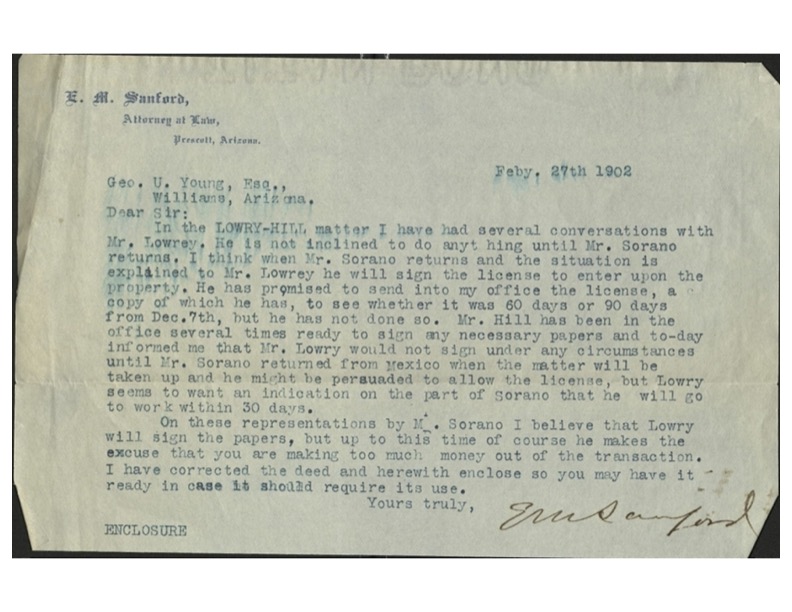
Way before the concept for Highland Pines in the early 1950’s was ever a sparkle in the eyes of Earl J. Wilson and Elmer Winternheimer, even before the 1907 U.S. Mineral Survey 2424 was ‘created’, there were the original facts of record that had to be, well….’fixed up’. The looting of the public domain in this region technically began way before February 1902 when Prescott District Attorney and sometimes judge E.M. Sanford got together with Yavapai county Sheriff James R. Lowery, sometimes found printed as Lowrey or just Lowry. Lowery was already engaged in several mineral estates on federal land in the region, along with Sanford, who had his hands in multiple mining operations, or stock certificate sales to ‘investors’. Samuel Hill together with T.C. Hill, E.L. Sharpneck and other associates of record was already undermining the unsurveyed areas of U.S. lands in what became designated separately in the early 1900’s as the Thumb Butte Mining District.
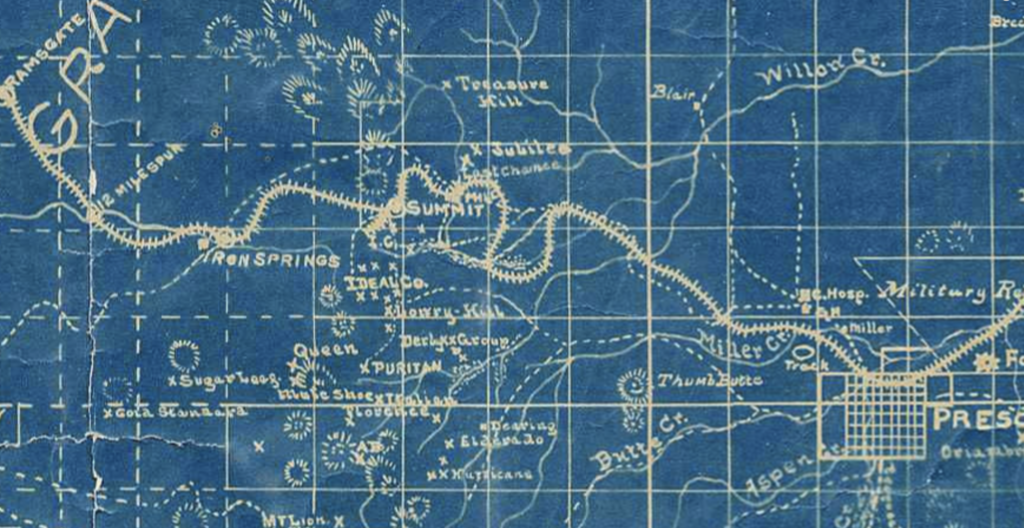
The Lowry-Hill operation was listed initially as the Lowry-Hill Mines, with the Hill operation being labeled as the ‘IDEAL MINING COMPANY’. An ideal vision for the likely attempt at eventually obtaining patent to the land somehow inside the label of the mining act of 1872. The only issue was, there was no mine.
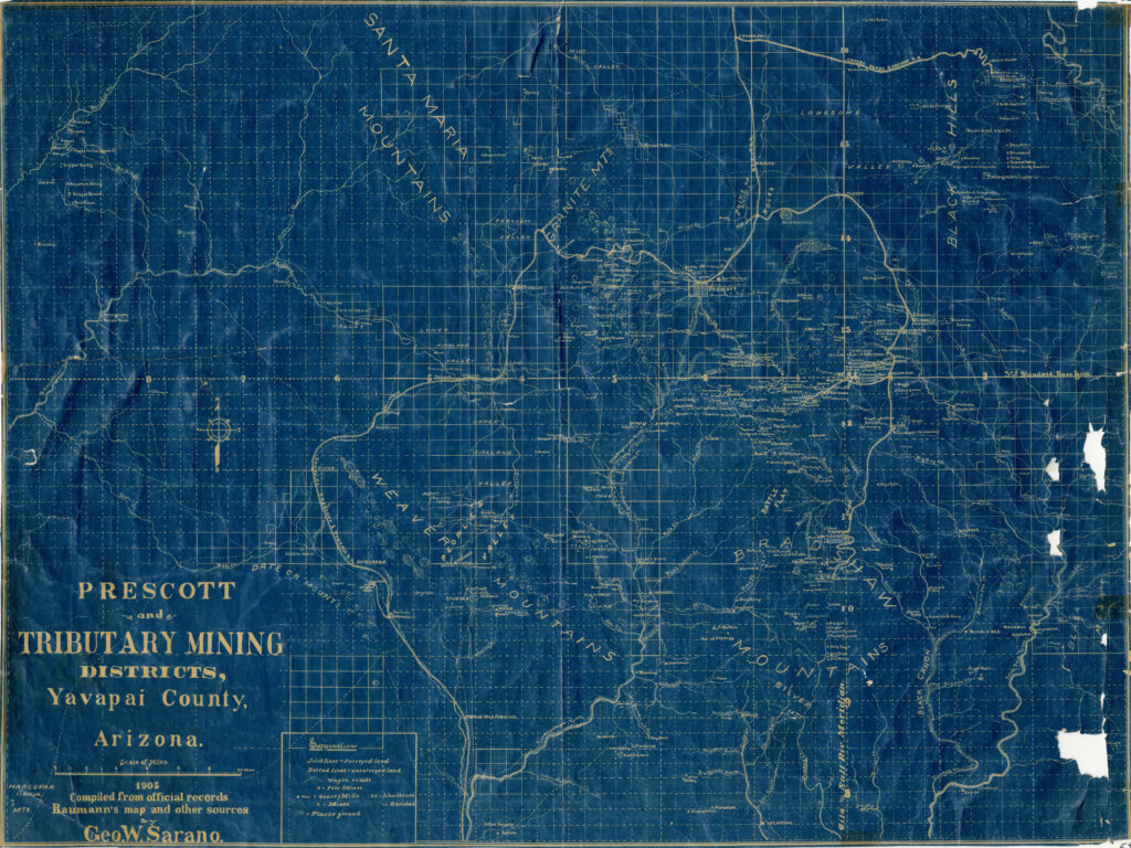
In about February 1902, along come George Ulysses Young, with an even greater field of vision. Possessing far brighter creative power than the former candidates in the field, a deal to ‘fix up the papers’ commenced, but not before mapmaker George W. Sarano, mapped the locations of various lode mining claims, in township 14 north, range 3 west, around the Thumb Butte mining district of Prescott, Arizona.
