The Golden Rule
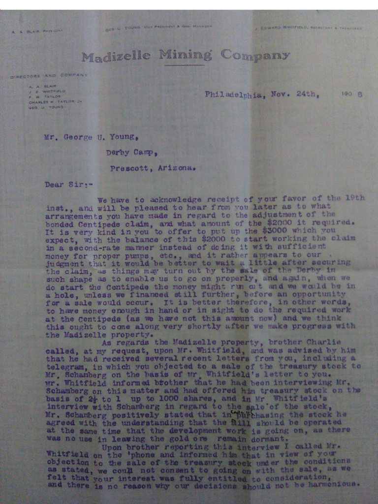
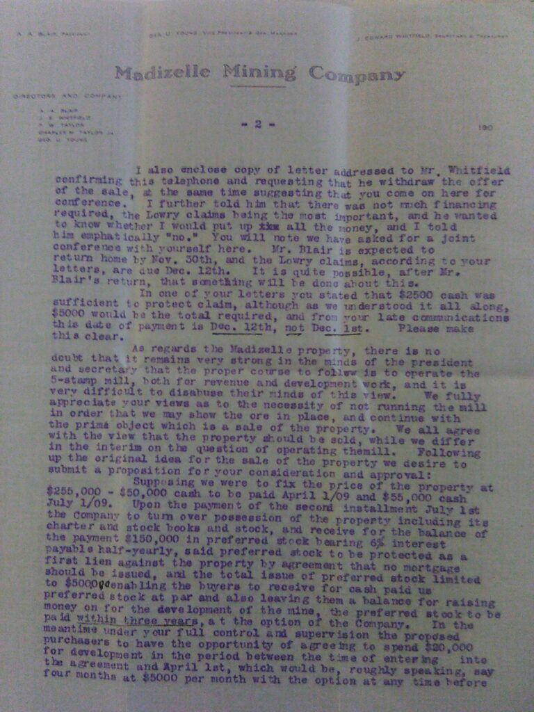
The Derby, the Madizelle property and the Lowry claims are all one and the same. Below is one of the internal letters of the Madizelle Mining Company, dated November 24th, 1908, from the directors in the City of Brotherly Love, addressed to George U. Young at the ‘Derby Camp’ in Prescott, Arizona. Young was listed as the vice president & general manager of the Madizelle Mining Company, replacing the Derby operation, and later in around 1916, became in sole control of the company.
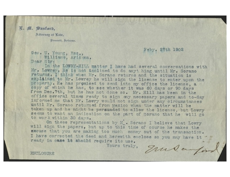
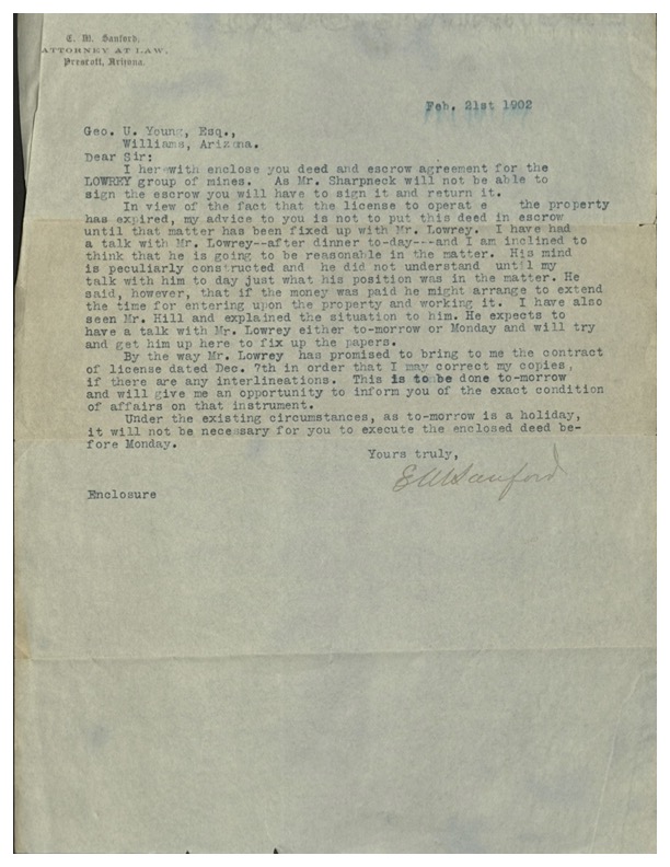
The U.S. title patent deed to what is supposed to be the Highland Pines area, used the lands designated by U.S. mineral survey 2424, which is dated in 1907. The internal letters of the Madizelle Mining Company discuss the lease payments to Yavapai County Sheriff James R. Lowry being due on the Lowry claims, to ‘protect claim’. The present day Highland Pines land is just the original Lowry mining land that he claimed with S.P. Hill, commonly referred to as the ‘Lowry-Hill mine’. J.J. Fisher created a fictitious mineral survey, M.S. 2424, to the claim of George U. Young, in 1907, covering what was to eventually be the patented lands of record, patented to the Madizelle Mining Company, per U.S. patent deed 818945 -in 1920-1921. The patent is in reality patenting nothing at all, as none of it ever existed there.
Locus Delicit
The locus is present day Highland Pines in Prescott, Arizona. Given the recorded history with the U.S. land records and county records, there is no actual basis of Young’s 1920 application for private title from the U.S. to Madizelle Mining Company. The main issue is the underlying bare mineral estate of the Highland Pines land that was required to form the application of mineral patent in the first instance. The U.S. land office application consists of various works of fiction and intentional omissions. The recorded affidavits and publication are bogus, as are the conveniently recorded ‘amended location notices’ and all appear to be violations of the mining law. The purported original claims ‘relocated’, are simply a masquerade to effectuate the M.S. 2424 configuration. In effect, the lode claims would have moved miles away to another area of the township 14 north range 3 west G.S.R.M. to comprise the drawing that is mineral survey 2424, which used the same names of the various veins or lodes of record to Young and others. Mineral Survey 2424, is simply not a survey at all.
Land Conscience
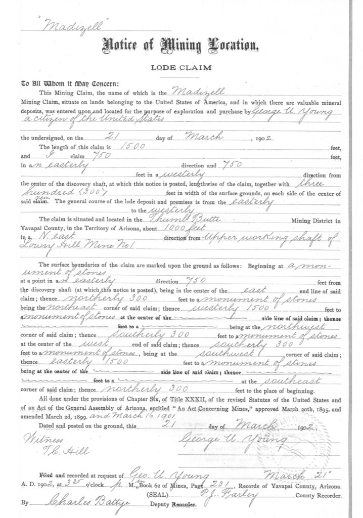
The lode claim notice recorded in Yavapai County for the ‘Madizelle lode’ identifies it’s location being about 1000 feet in a Northeast direction from the ‘Upper Working Shaft of the Lowry-Hill Mine No. 1‘. Looking at (fictitious) mineral survey 2424, and giving it the benefit of the doubt as being a legitimate location of survey for the Madizelle lode claim, one can see there is no mention of a Lowry Hill mine. There is also no mention of sheriff Lowry or S.P. HIll’s claims in the field notes of M.S. 2424. Mineral survey 2424 is a mask, a covering over of a different mineral estate, one which was leased by George U. Young and the Madizelle Mining company for several years, before James R. Lowry died in the line of duty. Young promoted the M.S. 2424 lands as a successful mining operation for many years, selling his stock to unweary investors. Accordingly in this particular brand of land fraud, the conflict on the ground was never mentioned, nor was the lack of validity to any real mineral estate to the U.S. land office when Young applied for a patent deed in 1920, which is actually only based upon his leasing of ground from Lowry and the fictitious M.S. 2424 survey from 1907.
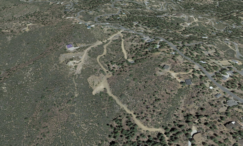
Highland Pines in Prescott, Arizona, Aerial view 2023, Skyline Drive x Windy Ridge x High Point Drive
