Puritan, Peno Alto, Derby
Creating is fun, creating in three’s is even more fun! The rule of three has been used as an effective way of making sense of information, deriving meaning, and predicting patterns. Stories, fairy-tales, myths…legends, fables and folk lore are almost always structured in a group of three’s, which on a simple level, make them more recognizable and easy to remember.
The Derby began with the Derby, Derby No. 2 and Derby No. 3, on paper, telling us that it existed. The record is telling us all three existed elsewhere in the township, miles away from where the purported Puritan Mine was later portrayed to have been on the ground. By 1907, with assistance of many, one plat was created. This new plat indicated the three Derby lode claims from something else entirely, as well as three Peno Alto lode claims, and three Puritan Lode Claims. Uniting all of these with several others, painted the picture of even more big ideas to come.
In October 2016, William Ascarza wrote an article for the Arizona Daily Star, a Tuscon newspaper here at: https://tucson.com/news/local/mine-tales-operation-near-prescott-became-subdivision/article_17fca598-55ba-5d29-a6f8-1ab0aac4bb15.html
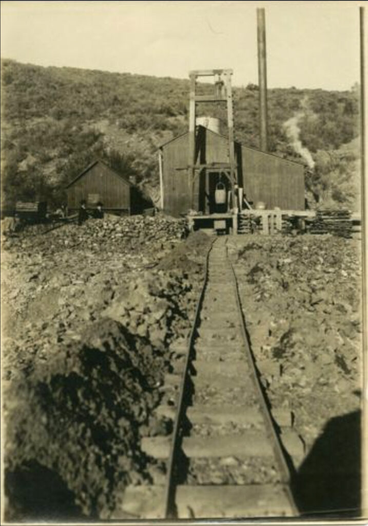
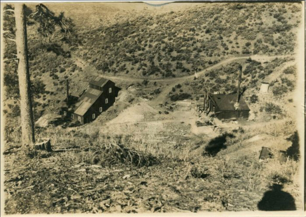
The article is misinformation. The captions to the articles supporting images state things like: ‘The Derby Mill and Cribwork near the mine hoist building…etc.’ and ‘Puritan shaft as it appeared in 1905 with track, hanging ore bucket…’ The images above are supposedly courtesy of Arizona Geological Survey, which may have received access to the old file archives from the now defunct Arizona Department of Mines and Mineral Resources.
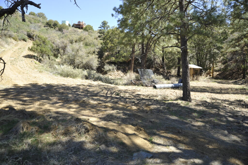
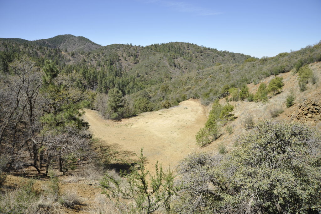
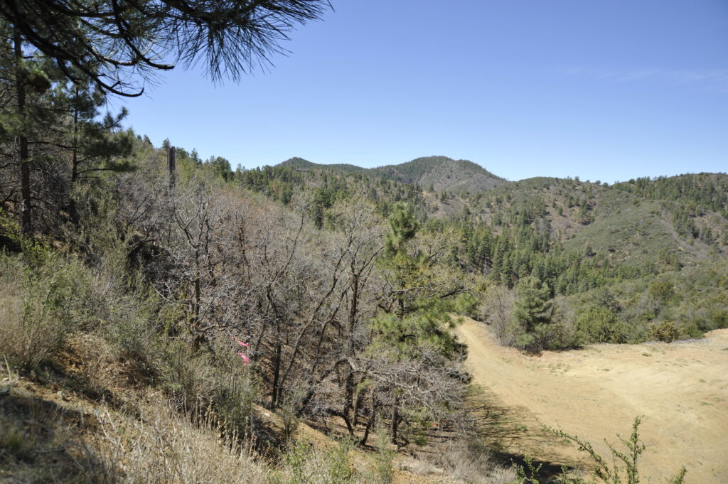
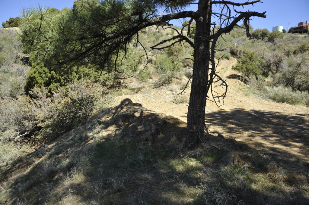
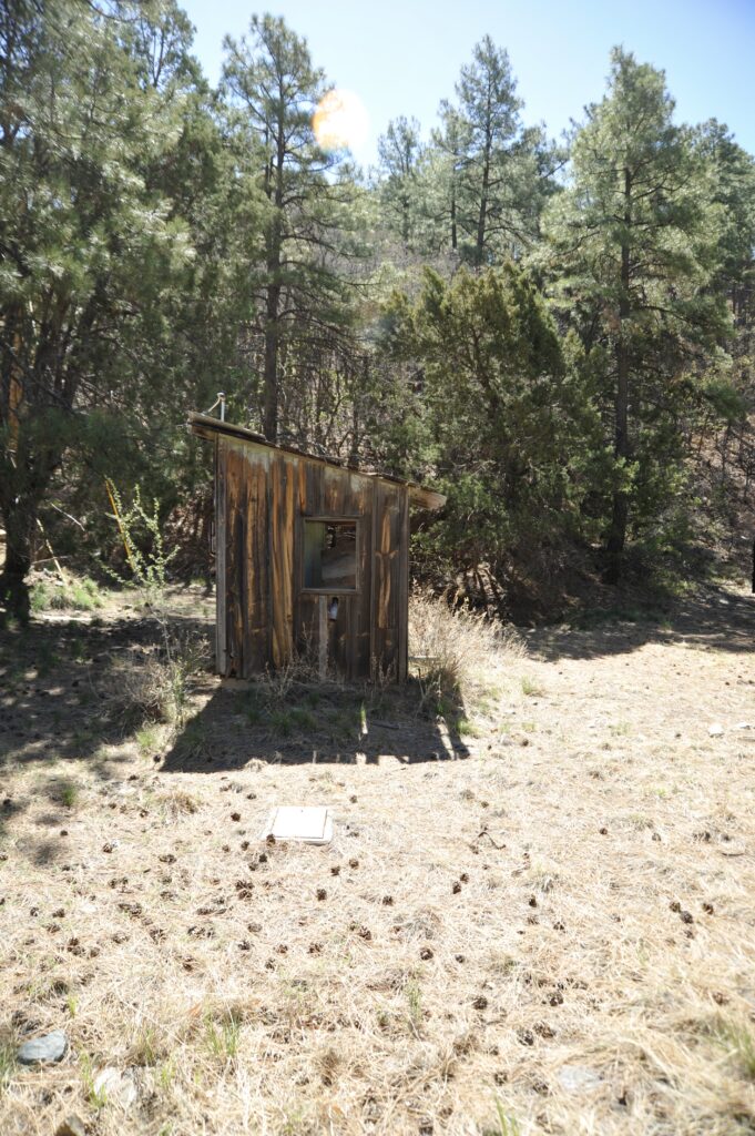
The article wants us to believe it is referencing the Puritan lode claim, or Derby Mine, or Madizelle Mining Company operation. The images are supposed to take you, to that which we are being told by the article, is the same gully off of Skyline Drive and Windy Ridge in the Highland Pines area. However, this information is just as salted as George U. Young’s staged photos, used to market his stock swindles to investors. Young had multiple fictional mining operations running in the Arizona Territorial era.
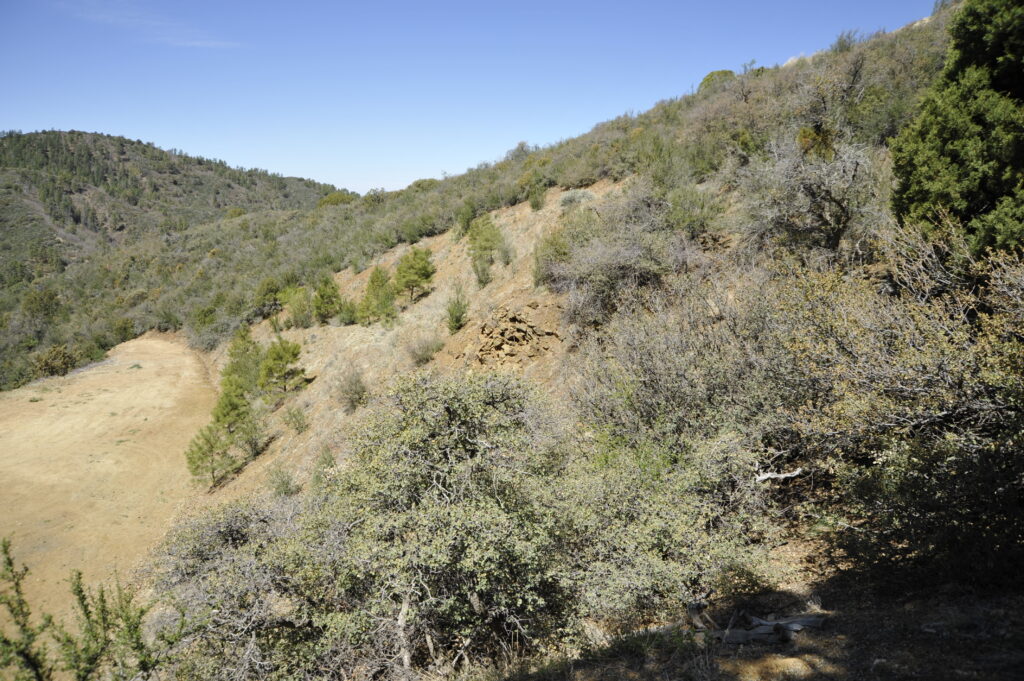
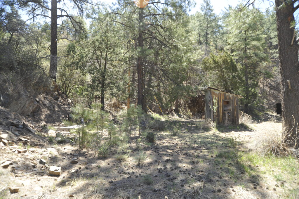
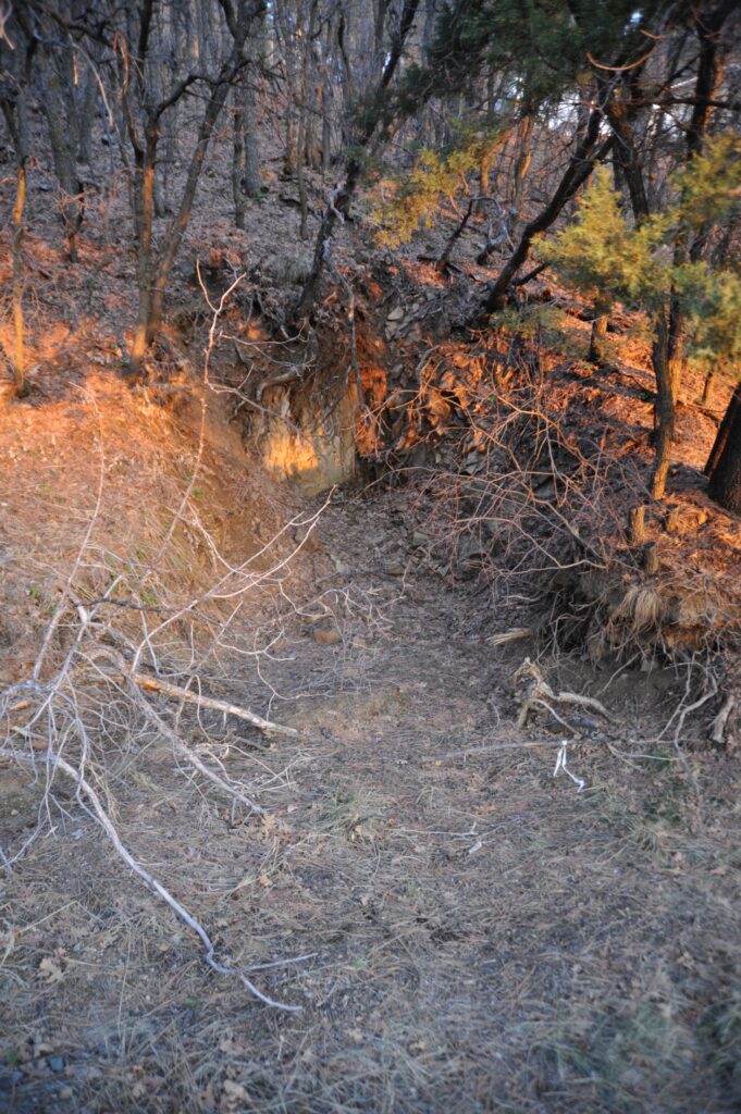
Shafts, Discovery Tunnels and Steam
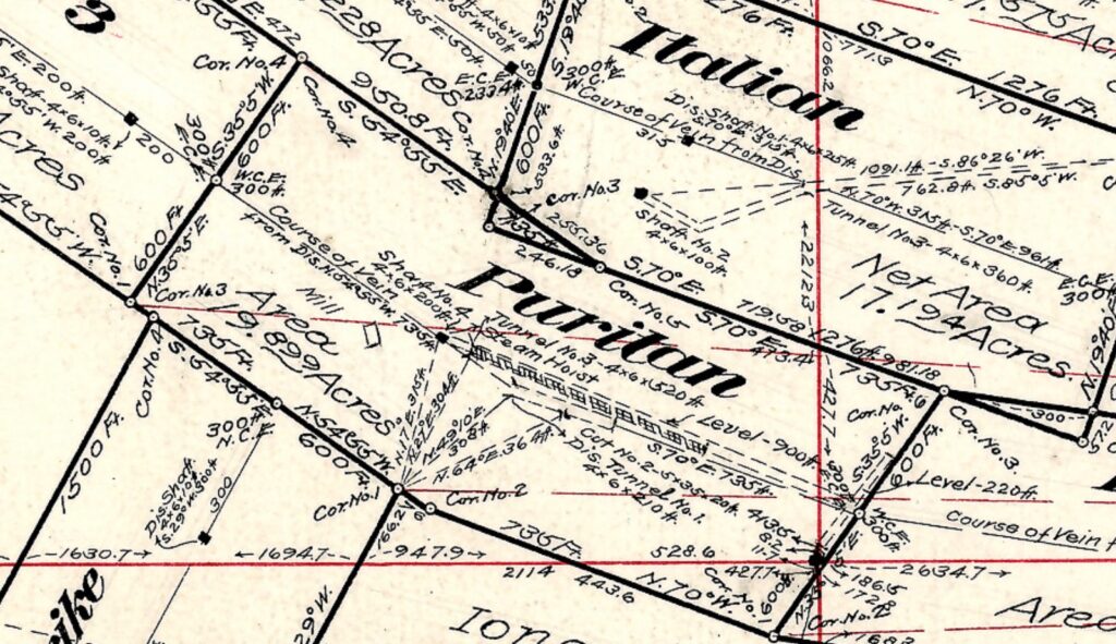
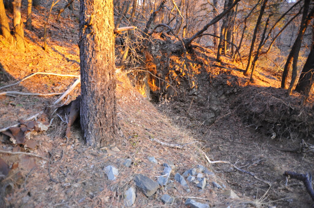
According to the PLAT and field notes of U.S. Mineral Survey 2424, the Puritan possessed A Mill, some shafts and some tunnels, all on or about the middle point, centerline, or the amended centerline. This position should also be the lode, vein or ledge. There are multiple references of record to the mill used by J.J. Fisher to obtain a patent of his ‘Last Chance’ mine and Mill-site, or his wife’s Last Chance, with U.S. Mineral Survey 1397 A & B in 1899. Fisher was the U.S. Deputy mineral survey that helped George U. Young make his famous ‘patent plat’, M.S. 2424. Fisher’s own Last Chance does not conform to the mining law, notably the mill-site rule, as patented. None of J.J. Fisher’s M.S. 1397 A & B conform to the Lode Location Notices of record, or even the direction and layout of the purported lodes. Fishers Mill was also just a prop, like may others, used to swindle and obtain patent under false applications. Fisher was the lode claimant of the Last Chance Mine and Mill Site, but removed himself on paper in order to have the patent issued in his wife’s name.
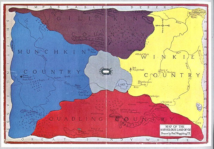
There are many details to the history in Thumb Butte Mining District, and it is easy to get sidetracked. Now back to the elaborate tale below…which cannot be duplicated on the ground. No.1 It was never what you thought it was. No.2 It is still not there. No.3 It is not going to all of a sudden…be there. Not even if you click your heels three times.