Royal A. Johnson U.S. Surveyor General Arizona Territory 1892 Instructions for Deputy Mineral Surveyors
“Before undertaking any official business, you are expected to make yourselves throughly familiar with the mining laws, and...

SKULDUGGERY ‘The Derby Mining Claims’: Progress Report Dec. 14, 1906
A fictitious ‘progress report’ on The Derby Mining Claims Thumb Butte District Yavaai County, Arizona, U.S.A. by Booth,...
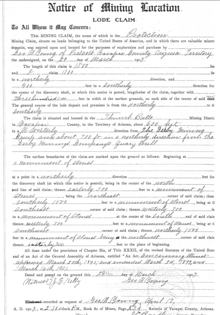
Protection Lode Claim
This is the Notice of mining location for the lode claim ‘Protection’. It does not say Protection #1,...
Madizelle x the All
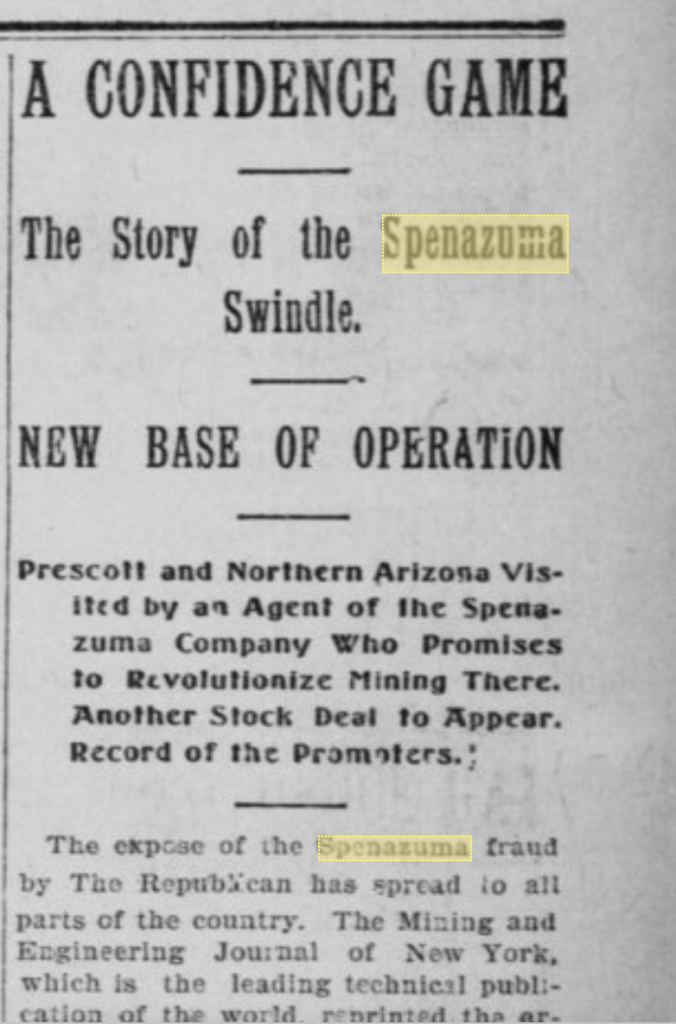
A confidence game: The Story of the Madizelle swindle. Base of operation, The (former) Derby Mining Company, Prescott...
Protection #3 x Humbert x Protection #2
The most easterly 50’ of the depicted Protection #3 would actually be the Humbert lode, senior in right....
Humbert x Italian
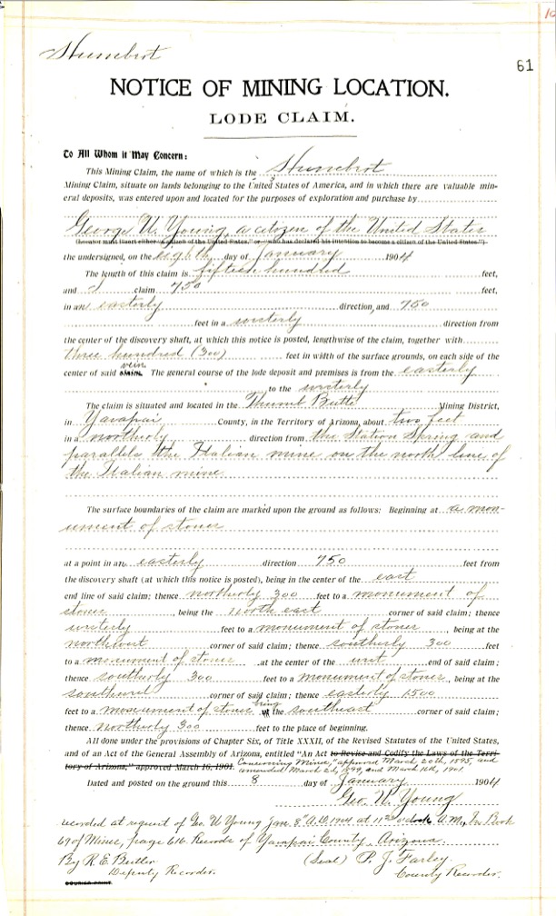
There is a location notice recorded for the Humbert lode claim dated Jan 8, 1904, located by George...
Peno Alto No. 2 x Penos Alto No. 1
Similarly, the Peno Alto No. 2 lode was located before the 1906 Penos Alto No. 1 clim, in...
Highland x Penos Alto No. 1 x Peno Alto No. 2
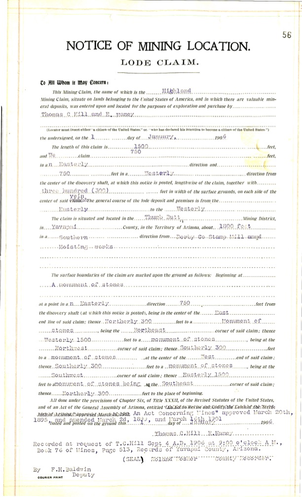
Highland Lode: The location notice of mining location for the Highland lode claim shows it was located by...
Penos Alto No. 1 x Highland x Happy Strike
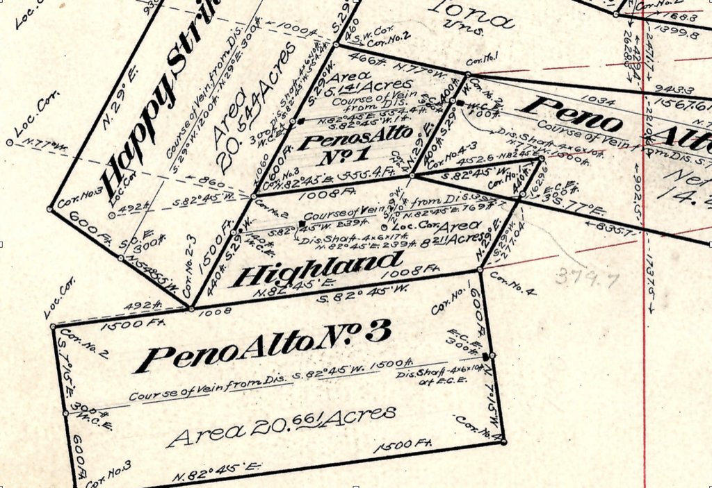
Is the Penos Alto No. 1 valid if located in 1906, well after the Happy Strike, but purportedly...
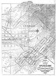
Happy Strike x Puritan x Iona
The original Sept 9 1904 Notice of location for the Happy Strike lode provides a 1500’ x 600’...
IRON MASK x IRON MASK
Mineral Survey 2424 is comprised primarily of these amended notice of location records, that are still inconsistent with...
Puritan x Puritan 2
The original Notice of location for the Puritan No. 2 lode claim has the 1500’ distance running an...
Italian x Italian
Considering mineral survey 2424 far as any Italian lode claim is concerned…We are presented with the most recent...
Protection #2 x Puritan
The Protection #2 is platted at 950.8’ x 533.5’ by J.J. Fisher, however the lode location notice provides...

Knocker Doom x SunnySide x Great Eastern x SunnySide
The Knocker Doom Lode claim dated September 7, 1906, takes in 1500’ x 600’, 400’ east and 1100’...
Great Eastern x Surenough Lode Claims: Conflicted Locations
Point of Discovery The Great Eastern lode dated September 1, 1901, is depicted on M.S. 2424 at roughly...
IONA LODE CLAIM CONFLICTS: Puritan, Puritan No. 2, Happy Strike and Peno Alto No. 2
M.S. 2424 The Mineral Survey of record clearly does not accurately account for these pre-existing senior rights when...
The Graft Checklist
Information required when considering the purchase of mining properties: 1. Name of Property 2. Location 3. Acreage. 4....

Isabella Lode Claim: Thumb Butte Mining District
This mining claim, the name of which is the Isabella Mining Claim, situate on lands belonging to the...
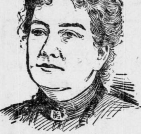
Mineral Survey 2424 MS: Sheet 2 ‘The Derby Lodes’
Patented in 1921 via serialized United States Mineral Patent # 818945 to ‘Madizelle Mining Company’, was the mining...
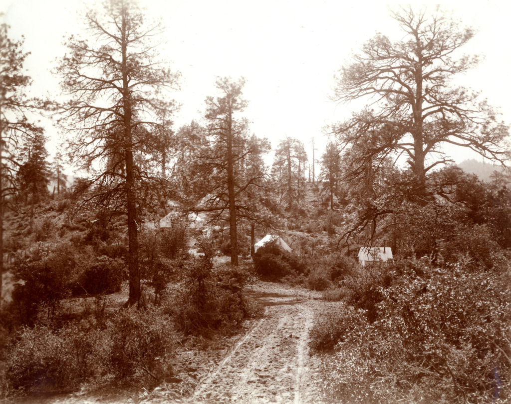
Claim Jumping’ & Stock Chiselin’
The popular ‘camp’ off of the gully at issue. Claimed by many, but conquered only by Young.
Assessor’s Record Maps: Highland Pines
The original Yavapai County Assessor’s ‘maps‘ relating to the various PLATS of record for ‘Highland Pines‘ are conflicting...
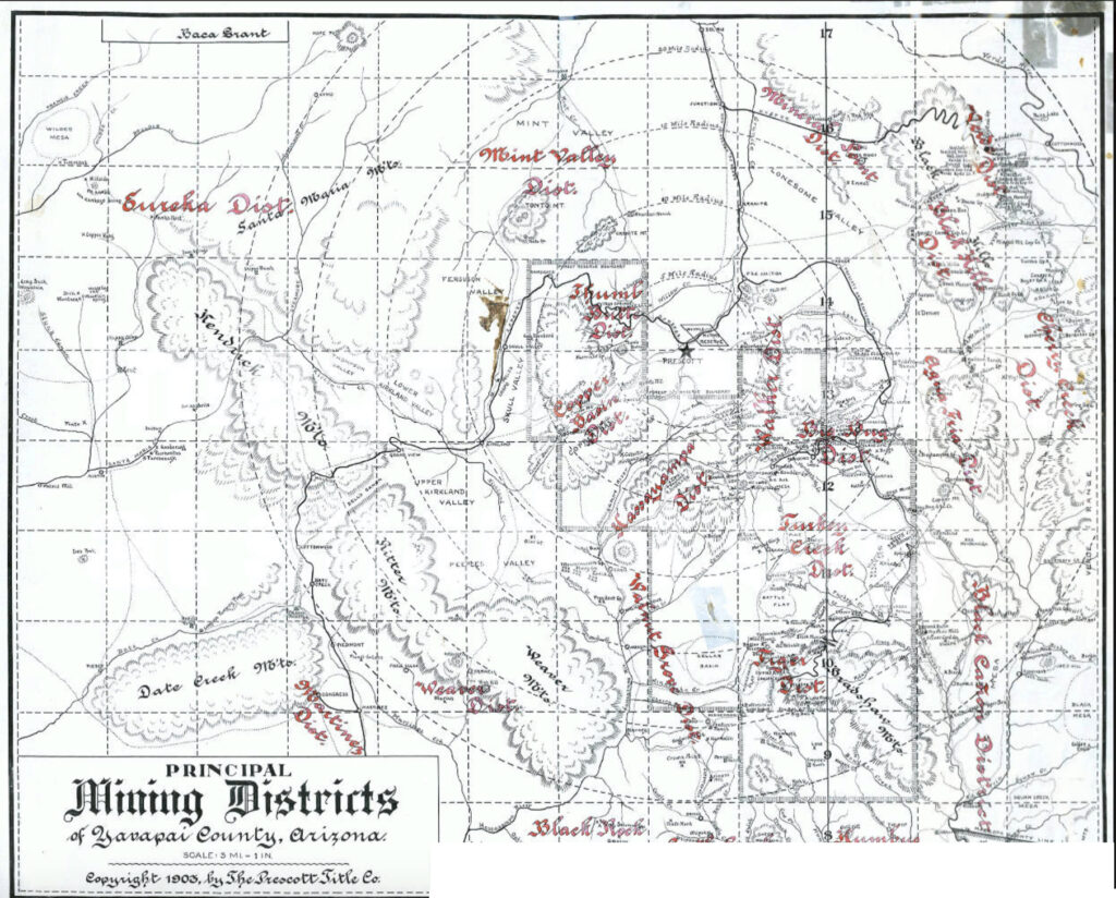
Field Notes: Mineral Surveys, Mining Claims
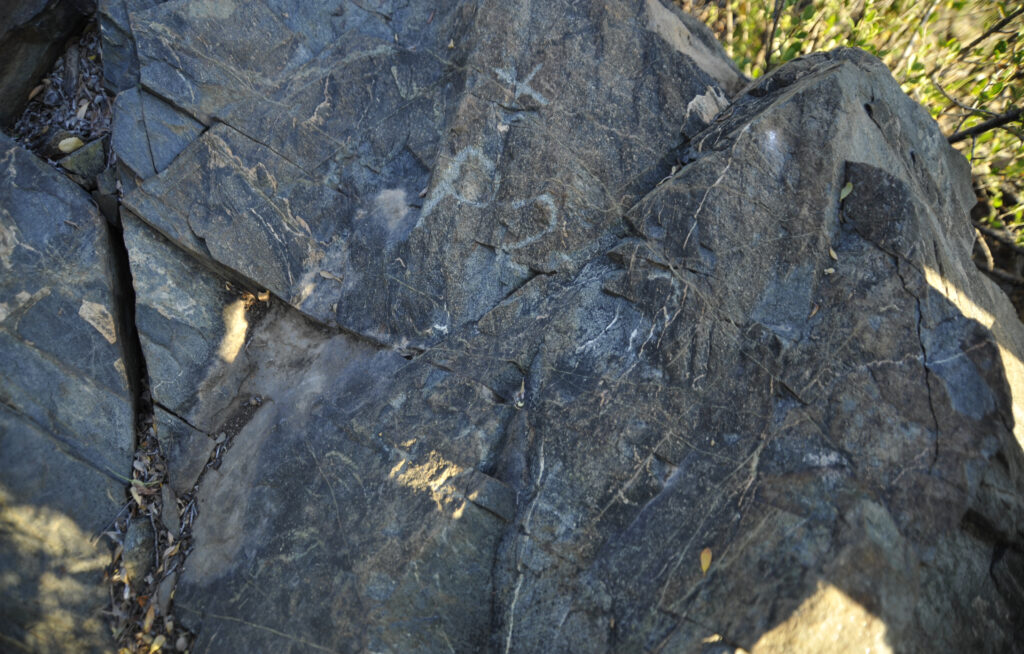
Below is photograph of a fictitious corner of a theoretical mining claim, that is way outside of it’s...
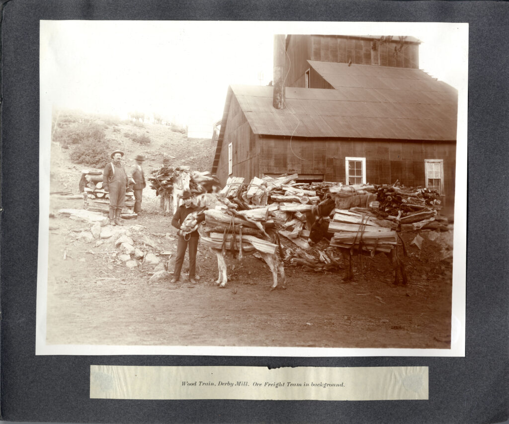
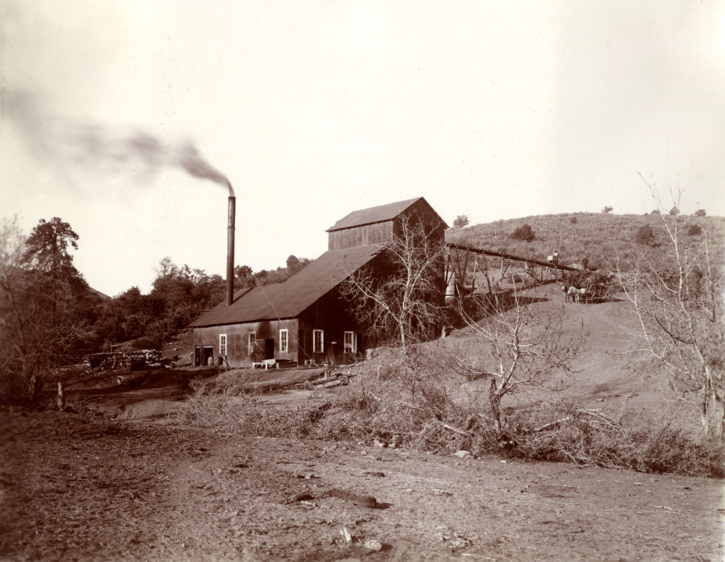
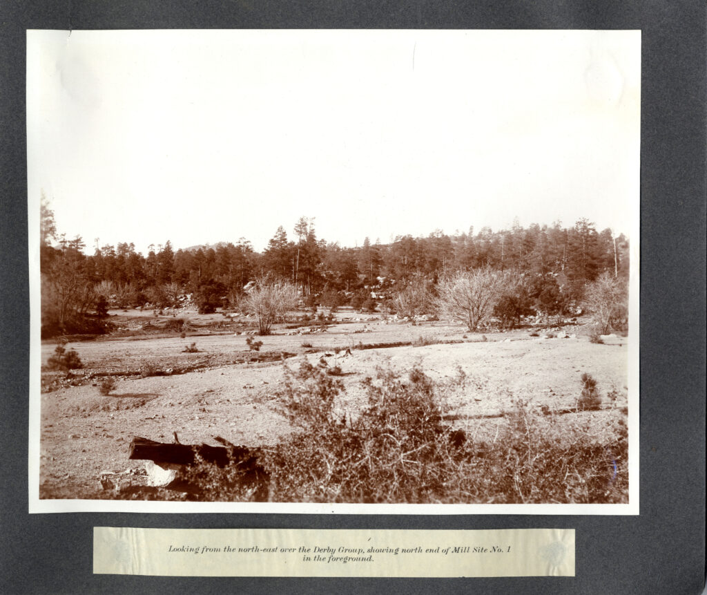
This is not the same ‘Mill’ site:
This is a photograph of George U. Young standing next to a Mill, presumably in the Thumb Butte...